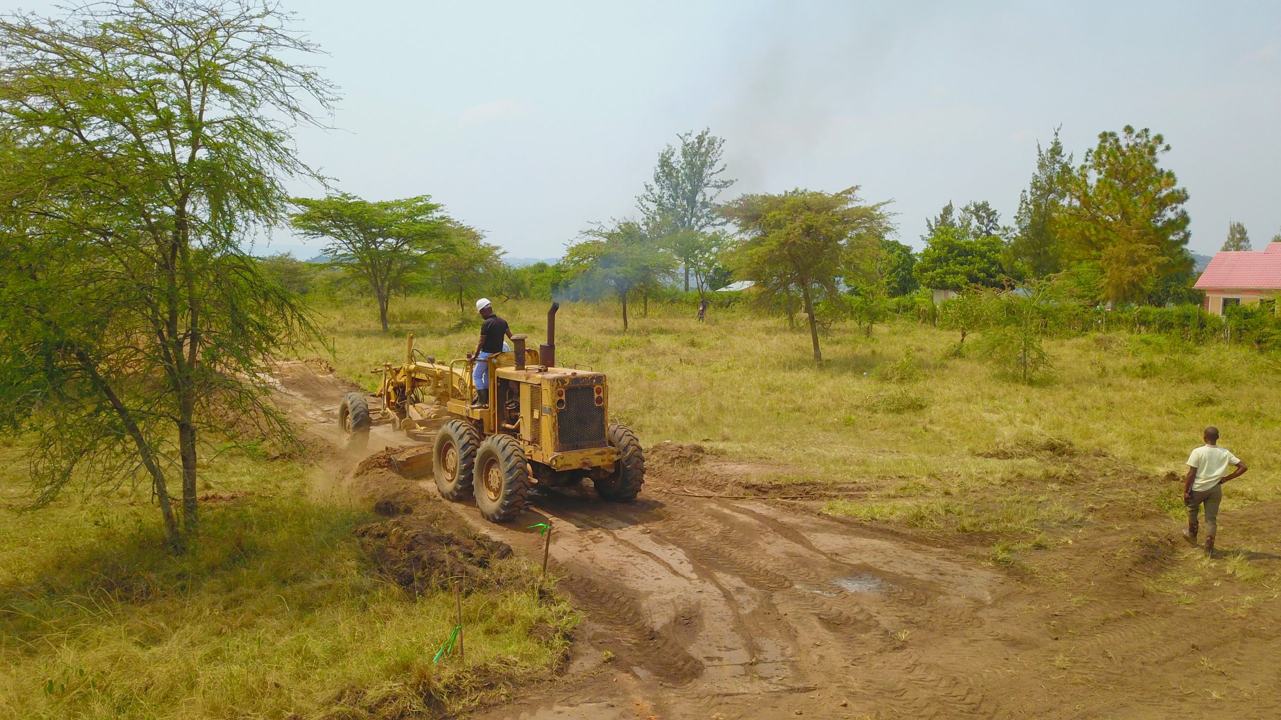
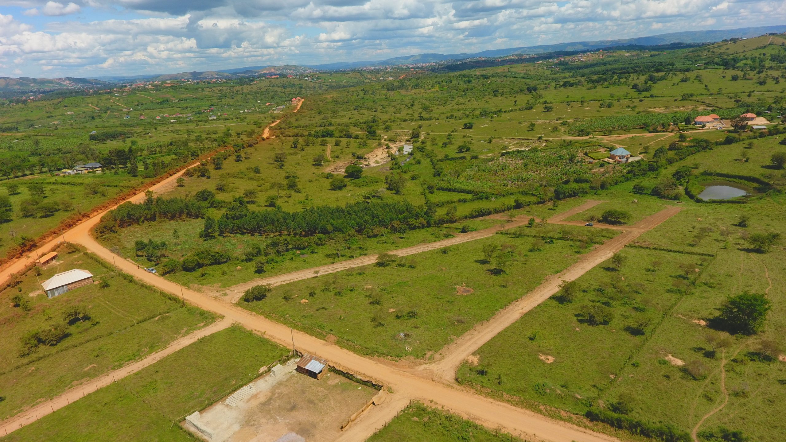
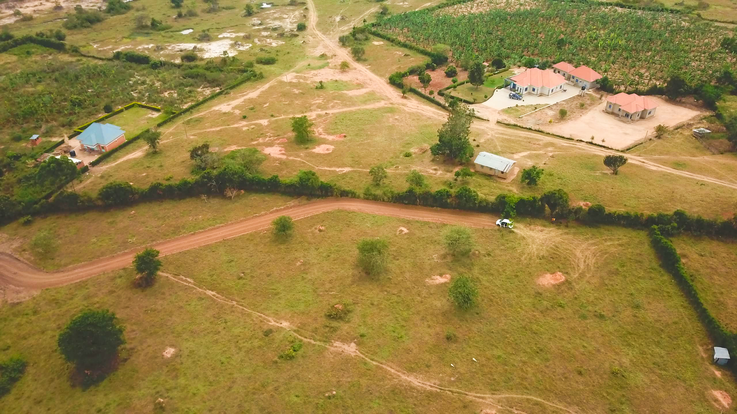
The main responsibilities of a land surveyor range from developing land survey reports and performing calculations of measurements and evaluations. Here’s a detailed version of the 13 duties of a land surveyor.
- Prepare and maintain sketches, maps, reports, and legal descriptions of surveys to describe, certify, and assume liability for work performed.
- Verify the accuracy of survey data, including measurements and calculations conducted at survey sites.
- Direct or conduct surveys to establish legal boundaries for properties, based on legal deeds and titles.
- Record the results of surveys, including the shape, contour, location, elevation, and dimensions of land or land features.
- Calculate heights, depths, relative positions, property lines, and other characteristics of terrain.
- Prepare or supervise the preparation of all data, charts, plots, maps, records, and documents related to surveys.
- Write descriptions of property boundary surveys for use in deeds, leases, or other legal documents.
- Plan and conduct ground surveys designed to establish baselines, elevations, and other geodetic measurements.
- Search legal records, survey records, and land titles to obtain information about property boundaries in areas to be surveyed.
- Coordinate findings with engineering and architectural personnel, clients, and others concerned with projects.
- Establish fixed points for use in making maps, using geodetic and engineering instruments.
- Determine longitudes and latitudes of important features and boundaries in survey areas, using theodolites, transits, levels, and satellite-based global positioning systems (GPS).
In conclusion: After reading this the next time you see a land surveyor, you won’t be confused about what they do. If you have any land title issues ranging from land surveying to land title processing, give us a call or pass by our office.


